
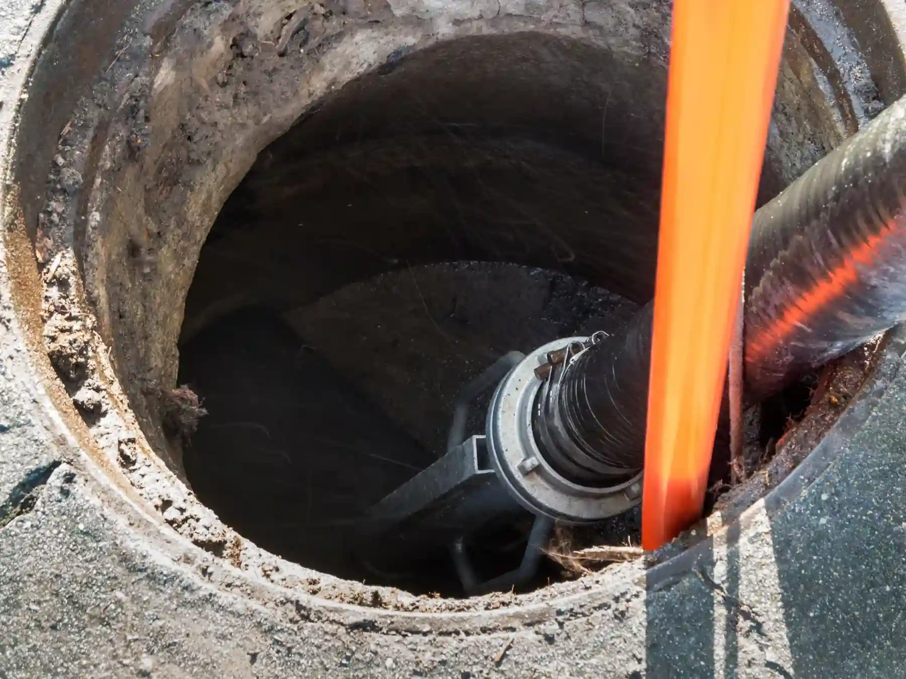
CCTV drainage surveys
Sewer Maps
A public sewer map shows the assets a water company records in its area, but it is not a complete picture of every pipe serving a property. Records can be incomplete or may not show every connection. We can help with mapping surveys that record accessible drainage on site.
What a public sewer map shows
A public sewer map is the record a sewerage undertaker keeps of the public sewers and lateral drains it is responsible for. Under section 199 of the Water Industry Act 1991, undertakers in England and Wales must keep specified sewer records and make the map available for public inspection free of charge at reasonable times. The information shown varies by undertaker and by the records available. It does not normally provide a complete map of private drainage within a property, and it may not show every connection.
Water company records can include historic plans, adopted sewers and as-built drawings. Older records may be incomplete or based on approximate positions. Depths are often missing, and pipes may have been diverted or altered without the changes appearing on the map. Excavation or suitable locating methods may be necessary where accurate position and depth are critical.

Free inspection and paid searches
Section 199 of the Water Industry Act 1991 requires sewerage undertakers in England and Wales to make their statutory sewer maps available for public inspection free of charge at reasonable times. Copies, written asset searches and developer search services may carry a charge. The information available and the search products offered vary between companies.
A CON29DW drainage and water search is commonly obtained during property conveyancing in England and Wales. It provides recorded information about water and sewer connections and relevant public assets. It cannot establish the actual condition of buried pipes or guarantee that every drain is shown on the records.
Why records are incomplete after 2011
On 1 October 2011, most qualifying private sewers and lateral drains connected to the public network in England and Wales transferred to the regulated sewerage companies. The transfer did not mean that every asset was immediately mapped. Where the location or particulars of an older asset were not known or reasonably discoverable, the statutory records can still have limitations.
Section 199 applies in England and Wales. For properties in Scotland or Northern Ireland, use the relevant water authority’s current record-search process.
What a mapping survey adds
A drain mapping survey establishes the accessible drainage layout on site. CCTV footage can be combined with sonde tracing, chamber measurements and checks of pipe connections. The resulting drawing may show pipe runs, chamber positions, observed diameters and measured levels. Sections that cannot be traced should remain marked as unconfirmed.
We can help with drain mapping and connectivity surveys for domestic, commercial and adoption projects. The output depends on access, the number of manholes and the level of detail agreed before work starts. A mapping survey shows what is visible and accessible on the day. It cannot prove the absence of a pipe that is buried, unchambered or outside the surveyed area.
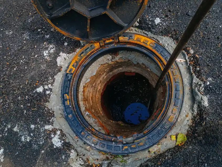
Build-over and adoption projects
If you plan to build near or over a public sewer, the relevant sewerage company may require approval before work starts. Its current application requirements will determine what plans, records or survey information are needed. A build-over checker can help you prepare questions for the water company, but it does not grant permission. Only the relevant authority or sewerage company can give the required approval.
For new developments, a section 104 agreement can set the requirements for sewers intended for adoption. Drain mapping during or after construction can help record the as-built drainage layout where that information is required. See our Section 104 adoption CCTV survey page for more on that process.
Water company record searches
The table below gives examples of water and sewerage companies and the service area to look for when starting a record search. Requirements vary, so confirm the current process directly with the relevant provider before relying on a map for a design or legal decision.
| Company | Nation | Where sewer records are held |
|---|---|---|
| Thames Water | England | Developer services and asset location searches |
| Severn Trent | England | Developer services and property searches |
| United Utilities | England | Developer services and asset records |
| Anglian Water | England | Developer services and asset location |
| Yorkshire Water | England | Developer services and records |
| Scottish Water | Scotland | Developer services and asset records |
| NI Water | Northern Ireland | Developer services and records |
Public sewer location can affect building work. Our Thames Water build over agreement and Severn Trent build over agreement pages explain the different consent arrangements. The build over agreement checker is an information aid, not a water company approval.
What sewer maps cannot show
A sewer map is a record, not a survey. It can be wrong, incomplete or out of date. Before relying on one for a build-over application, a conveyance or a repair, consider what the map does not show. A CCTV and mapping survey can fill some of those gaps by recording what is present and accessible. It cannot see through deposits, detect every defect or confirm the condition of a pipe it cannot reach.
A water company map shows the pipe positions held in its records. A site mapping survey can establish the line and depth of accessible drainage more accurately, using tracing and measurement. Neither method can reliably show the condition of hidden pipe walls without inspection. Our drainage survey page covers the inspection methods used to investigate buried drainage.
Free online tool
Build Over Agreement Checker
Building over or near public drains and sewers
Common questions
Frequently asked questions
Is a public sewer map the same as a drain map?
No. A public sewer map shows the assets the water company records as public. A drain map records the drainage layout on a property, including private drains and connections. The two can be compared, but they are produced for different purposes.
Can I get a sewer map for free?
Under section 199 of the Water Industry Act 1991, sewerage undertakers in England and Wales must make the statutory sewer map available for public inspection free of charge at reasonable times. Providers may also offer paid searches or other record products, so check the current process with the relevant company.
Why is my property not shown on the sewer map?
The record may be incomplete or may not show a connection in the position you expect. The 2011 transfer brought most qualifying private sewers and lateral drains in England and Wales into water company ownership, but it did not make every asset immediately identifiable on a map. A mapping survey can record accessible drainage on site, but it cannot prove that an untraced pipe does not exist.
Does a sewer map show private drains?
Generally no. Public sewer maps focus on public sewers and lateral drains. Private drains within a property boundary are usually not shown. A drainage survey is needed to record those.
Can a sewer map be used for a build-over agreement?
It is often requested as part of a build-over application, but it does not grant permission. The water company decides whether to approve the build-over. A build-over checker can help you prepare questions, but it is not a regulatory certification.
Request a quote
Complete the form and we will get back to you.