
CCTV drainage surveys
Drainage Survey
A drainage survey records what is already underground before design work begins. Routes, levels, connections and condition are captured so drawings, planning drainage strategies and build-over questions rest on measured evidence rather than assumption.
What a drainage survey records
An existing drainage survey is a measured record of the below-ground drainage serving a site at the time of the visit. It is usually commissioned before design work is fixed, when the position and condition of existing pipes still influence what can be built and where. The survey sets out pipe routes, invert and cover levels, pipe diameters and materials, the location of manholes and inspection chambers, and the connections between them. Condition is recorded from closed-circuit television where access allows, with defects described and coded to an agreed specification.
The output is not a single drawing. A useful pre-construction drainage survey combines several records: a drainage layout with levels, a manhole schedule, CCTV footage and a condition report, and dye testing where the destination of a particular connection needs confirming. Each element answers a different question, and the combination is what allows a designer to trust the result.

Why it matters at feasibility and pre-construction stage
Drainage is often the constraint that decides layout. A pipe crossing a plot, a sewer running under a proposed access, or a connection that turns out to serve a neighbouring property can all change what is achievable. Finding these issues after planning submission or after groundworks start is expensive. A survey at feasibility stage gives the design team facts to work with: where the pipes actually run, how deep they are, how they connect and what condition they are in.
For planning, a drainage strategy needs to show how foul and surface water will be dealt with. That strategy depends on knowing what already exists. For build-over decisions, the position and condition of a sewer relative to a proposed structure is central. A survey informs those decisions; it does not grant permission, and any build-over proposal still needs the water company’s agreement.
What the CCTV element shows, and its limits
CCTV survey shows the visible internal surface of a pipe from the camera’s viewpoint. It can identify cracks, fractures, deformation, displaced joints, root ingress, scale, debris and connections. It cannot see through deposits, and it cannot detect every defect, particularly those outside the visible wall or behind a lining. A survey is a snapshot of the pipe at the time of inspection, not a prediction of remaining life.
Condition coding depends on the specification agreed before the survey. Not every survey is graded to the same system, and the report contents follow what was asked for. Where a project needs a recognised coding standard, that should be stated in the brief so the survey is specified to match. See MSCC5 drain survey for the coding approach used on many projects.
Mapping, manhole schedules and levels
Drain mapping turns the survey into a plan a designer can use. It records pipe runs, diameters, materials and the levels at which pipes enter and leave each manhole. Invert levels allow gradients between known points to be calculated, which can affect hydraulic performance and self-cleansing behaviour. Cover and invert levels together establish the depth of the drainage and help inform excavation and connection planning.
A manhole schedule lists each chamber with its type, depth, cover and the pipes connected to it. This is often the document that reveals a connection nobody expected. Where the destination of a connection is unclear, dye testing can confirm which pipe it feeds. Our drain mapping and drain dye testing pages explain those elements in more detail.
Public and private drainage
Whether a pipe is public or private affects who is responsible for it and what permissions are needed. In England and Wales, many sewers and lateral drains that connect to the public network transferred to water company ownership, but the position is not uniform and records are not always accurate. In Scotland and Northern Ireland the arrangements differ, and the responsible body and the agreement process are not the same as in England and Wales. A survey can record what is physically present; confirming legal status and responsibility usually requires the water company or the relevant authority to be consulted.
For any proposed build-over, the water company’s requirements must be confirmed before a survey is specified. Different companies ask for different information, and some want the survey carried out to a particular standard. Our build over CCTV survey page covers that process.
Access and site conditions
A drainage survey is only as good as the access available. Manholes may be buried, damaged, sealed or full. Pipes may be too small, too deep or too obstructed for a camera to pass. Where access is limited, the survey records what could be reached and notes what could not. That limitation should be understood by anyone relying on the report, because an unsurveyed length is not the same as a clear length.
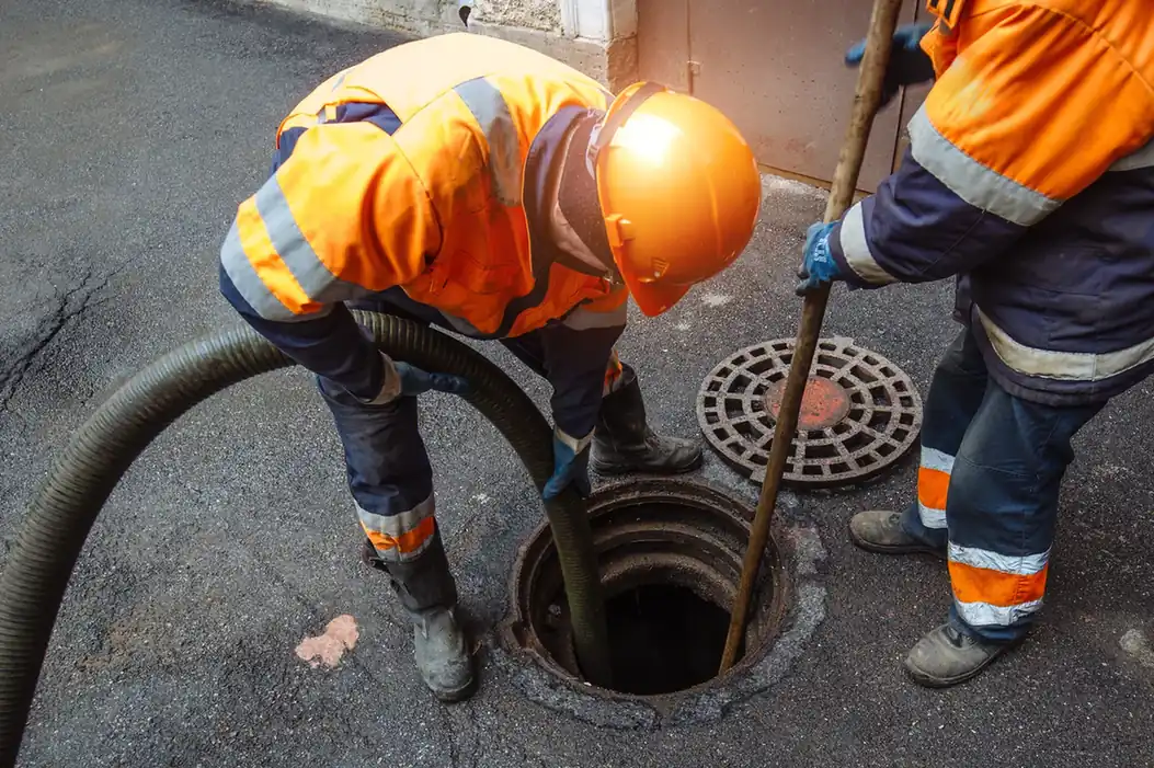
Cleaning or jetting before survey is sometimes needed to get a usable record. Confined space work, where entry is unavoidable, is competent specialist work carried out under a safe system. It is not a task for general site staff. Our drain survey access requirements page sets out what to check before a visit.
How a drainage survey fits with other surveys
A drainage survey is one of several investigations a site may need. It is not a flood risk assessment, a SuDS design or a geotechnical survey, and it does not replace them. Its scope is existing drainage: what is there, where it runs, what condition it is in and how it connects. Where a project needs a wider environmental or hydraulic assessment, that is a separate commission.
For housebuilders and developers, the survey often feeds directly into the drainage strategy and the layout. Our drain surveys for housebuilders and developers page describes how that typically works.
What we can help with
We can help with existing drainage surveys for feasibility, pre-construction and planning support. That includes CCTV condition survey, drain mapping with levels, manhole schedules, and dye testing to confirm connections. We can help with surveys to inform build-over discussions and with surveys of drainage that may be adopted. The scope, coding standard and deliverables are agreed before work starts so the report matches what the design team needs.
To discuss a project, contact us or request a drain CCTV survey quote. A real quote depends on site access, the length and diameter of pipe, the number of manholes, the coding standard required and the deliverables needed. Those drivers are best discussed against the actual site rather than estimated from a description.
Free online tool
Build Over Agreement Checker
Check what to ask your sewerage company before building near a drain or sewer.
Common questions
Frequently asked questions
What is the difference between a drainage survey and a CCTV drain survey?
A drainage survey is the broader record: routes, levels, connections, manhole schedules and condition. A CCTV drain survey is the camera inspection element that records the internal condition of the pipes. Many projects combine both, along with dye testing where connections need confirming.
Can a drainage survey support a planning application?
It can provide the existing drainage information a drainage strategy needs, such as routes, levels and connections. It does not itself satisfy planning requirements, and any build-over or connection proposal still needs the relevant water company or authority to be consulted.
Does a drainage survey show whether a sewer is public or private?
It records what is physically present. Confirming legal status and responsibility usually requires the water company or relevant authority, because records are not always accurate and the arrangements differ between England, Wales, Scotland and Northern Ireland.
What limits should I expect in a drainage survey report?
CCTV shows the visible internal surface from the camera's viewpoint. It cannot see through deposits or detect every defect, and unsurveyed lengths are not the same as clear lengths. Report contents and coding depend on the specification agreed before the survey.
Request a quote
Complete the form and we will get back to you.