Yes. A sewer map can omit a drain running beneath a proposed extension because public sewer records do not necessarily show every private drain, property connection or historical alteration. A line missing from a drawing is not evidence that the ground beneath the proposed foundations is free of drainage infrastructure.
This matters when deciding where to position foundations, whether an existing drain needs protection or diversion, and whether the proposed building footprint conflicts with pipework already serving the property.
What sewer records may omit
Public sewer records primarily help identify recorded sewerage infrastructure. They are not necessarily a complete plan of everything buried within a property’s boundary.
In England and Wales, some formerly private sewers and lateral drains transferred into public ownership in 2011. That history can complicate the relationship between older drawings, current records and the pipework physically present.
The position of a pipe may also have changed after the original record was prepared. An extension, previous repair or drainage alteration could have introduced a branch that was never added to the available drawing.
A property may therefore have several different records, each useful for a different reason:
- Public sewer records: Indicative information about recorded public infrastructure.
- Historic property drawings: Potential evidence of drainage arrangements when earlier work was designed or completed.
- Physical drainage observations: Evidence of the accessible pipework and routes actually found on site.
None should automatically be treated as a complete substitute for the others.
Why the difference matters for extensions
An omitted drain can cross a proposed foundation trench, run alongside a new wall or pass beneath part of the intended floor.
The implications depend on its route, depth, construction and status. A private branch serving a single property presents different questions from a public sewer carrying wastewater from several properties.
Even a pipe shown accurately in plan may be shallower or deeper than assumed. Where foundation design depends on its position, the available evidence needs to be sufficiently precise for that decision.
How to verify an uncertain route
A drain mapping investigation can compare existing records with accessible manholes, inspection chambers and underground pipe routes.
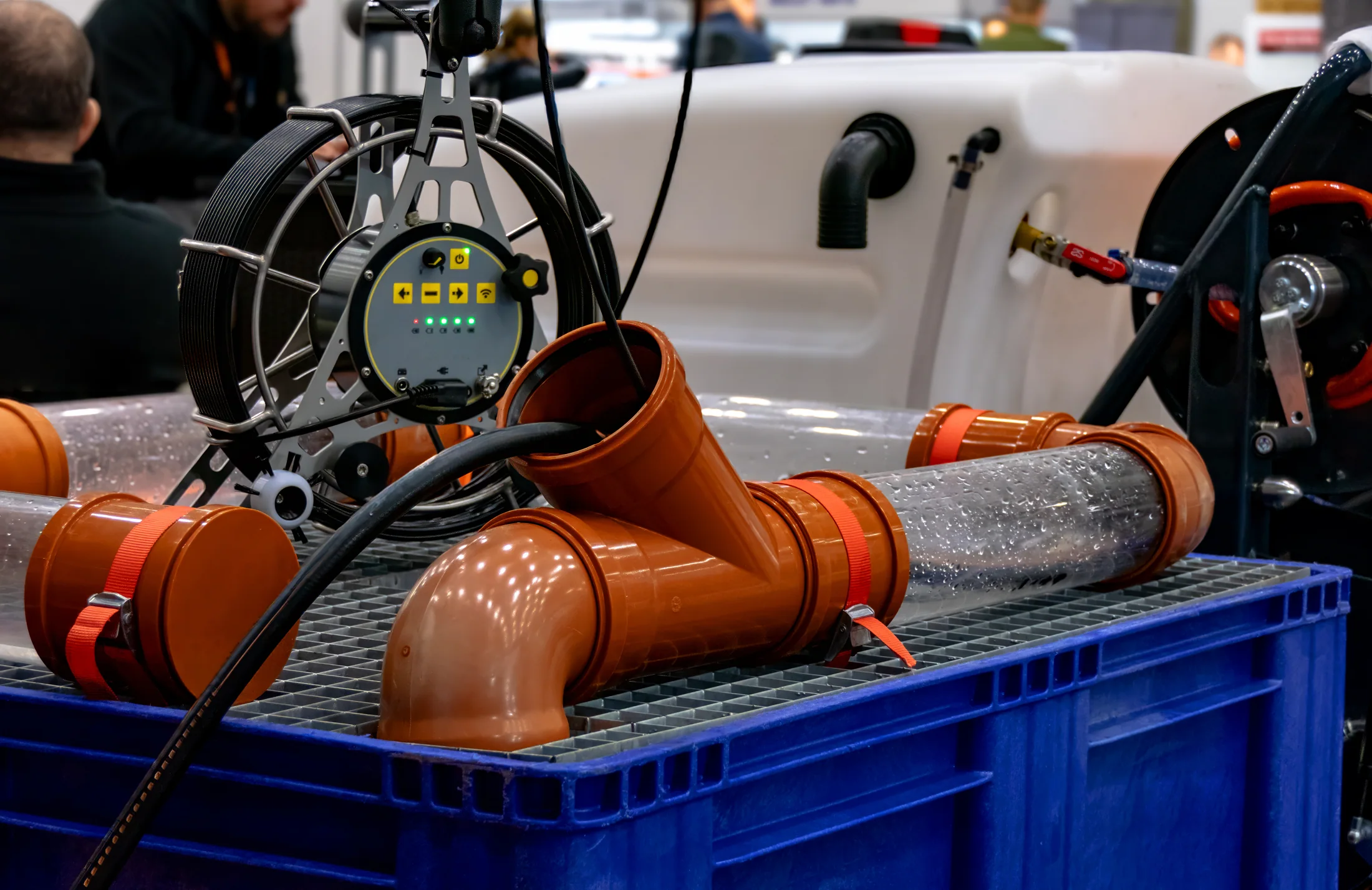
Camera inspection helps identify connections and changes in direction. Where conditions allow, a transmitting sonde travelling inside a pipe can be located above ground to establish an indicative route and depth.
These observations can be transferred onto a site drawing, showing which sections were traced and which remain uncertain.
The distinction between a measured observation and an assumed connecting line is important. If the camera cannot pass an obstruction, or a route disappears beneath inaccessible structures, the remaining section should not be presented as fully verified.
For background information about existing public records, the separate sewer maps guide covers their purpose and limitations.
When drawings disagree with site evidence
A discrepancy does not automatically mean either record is entirely wrong. The drawing may describe a different stage of development, represent an approximate alignment or omit a later addition.
Rather than forcing the observed route to fit the original drawing, the difference should be documented. It may be necessary to check another chamber, trace an additional branch or establish a physical reference point.
The Health and Safety Executive’s guidance on excavations and underground services explains why buried-service plans must be supplemented by suitable locating methods. Its specific advice on electrical cables is not a drainage mapping standard, but it reinforces the importance of identifying buried services before excavation.
Decisions before foundation work
Before finalising the extension layout, establish whether drainage crosses the proposed footprint, how its position relates to the intended foundations and whether any unidentified branches remain.
Where building work may affect a public sewer, its legal status and the relevant sewerage undertaker’s requirements need separate consideration. Locating a pipe physically does not establish ownership or provide permission to build over it.
If a public sewer is suspected beneath the proposed extension, the build over CCTV survey page explains the condition information that may be relevant to those discussions.
The practical objective is to give the designer a dependable picture of drainage constraints while changes to foundations or the building footprint are still possible.